
Mapa topográfico Brumholt
Mapa interactivo
Haga clic en el mapa para ver la altitud.
Acerca de este mapa
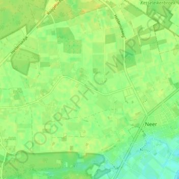
Nombre: Mapa topográfico Brumholt, altitud, relieve.
Lugar: Brumholt, Neer, Leudal, Limburg, Nederland, 6086 RE, Nederland (51.24981 5.94633 51.28981 5.98633)
Altitud media: 29 m
Altitud mínima: 17 m
Altitud máxima: 38 m
Otros mapas topográficos
Haga clic en un mapa para ver su topografía, su altitud y su relieve.