
Mapa topográfico Golestan National Park
Mapa interactivo
Haga clic en el mapa para ver la altitud.
Acerca de este mapa
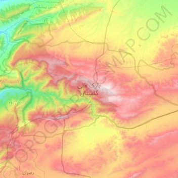
Nombre: Mapa topográfico Golestan National Park, altitud, relieve.
Altitud media: 1 248 m
Altitud mínima: 315 m
Altitud máxima: 2 337 m
The park is located in the eastern Alborz (Elburs) Mountains range and the western edge of the Kopet Dag range. It comprises 91,890 ha. Elevations in the park range from 1,000–1,400 metres (3,300–4,600 ft) above sea level.