
Mapa topográfico Zahedan
Mapa interactivo
Haga clic en el mapa para ver la altitud.
Acerca de este mapa
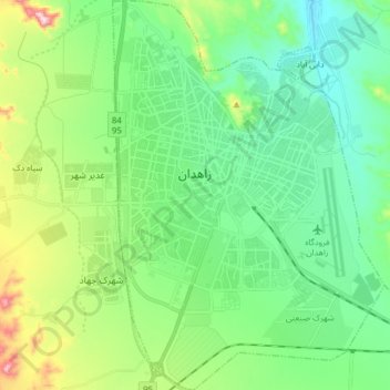
Nombre: Mapa topográfico Zahedan, altitud, relieve.
Altitud media: 1 416 m
Altitud mínima: 1 307 m
Altitud máxima: 1 721 m
Zahedan is connected by rail to nearby Pakistan and is near to Afghanistan. It is about 41 km (25 mi) south of the tripoint of the three countries and at an altitude of 1,352 m (4,436 ft) above sea level and 1,605 km (997 mi) from the Iranian capital of Tehran.