
Mapa topográfico Stone Mountain
Mapa interactivo
Haga clic en el mapa para ver la altitud.
Acerca de este mapa
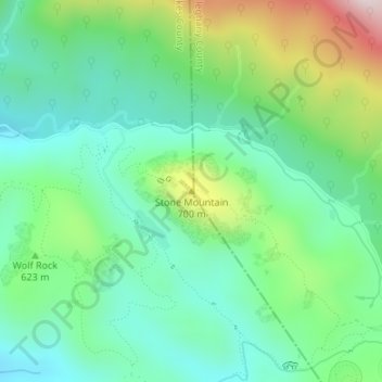
Nombre: Mapa topográfico Stone Mountain, altitud, relieve.
Lugar: Stone Mountain, Wilkes County, North Carolina, United States (36.39361 -81.04403 36.39371 -81.04393)
Altitud media: 567 m
Altitud mínima: 416 m
Altitud máxima: 927 m
Stone Mountain is the centerpiece of Stone Mountain State Park in North Carolina. It is a dome of exposed granite (specifically a quartz diorite to granodiorite) of Devonian age, which has intruded into the gneiss of the Precambrian Alligator Back Formation. It rises sharply over 600 feet (183 m) above the surrounding terrain. The mountain, which has an elevation of 2,305 feet (706 m) above sea level, is known for its barren sides and distinctive brown-gray color, and can be seen for miles. The mountain offers some of the best rock climbing in North Carolina, and the park's creeks and streams feature excellent brook trout fishing.