
Mapa topográfico Los Banos
Mapa interactivo
Haga clic en el mapa para ver la altitud.
Acerca de este mapa
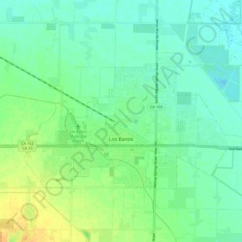
Nombre: Mapa topográfico Los Banos, altitud, relieve.
Lugar: Los Banos, Merced County, California, 93635, United States (37.04164 -120.89311 37.08949 -120.78699)
Altitud media: 36 m
Altitud mínima: 26 m
Altitud máxima: 53 m
Los Banos is located on the west side of the San Joaquin Valley, 26 miles (42 km) southwest of Merced, at about 118 ft (36 m) elevation. Its coordinates are 37°03′30″N 120°51′00″W / 37.05833°N 120.85000°W / 37.05833; -120.85000. The city is at the intersection of California State Route 152 and California State Route 165. 7 miles (11 km) to the west is Interstate 5, which runs north-to-south between Sacramento and Los Angeles. The San Luis Reservoir and the Diablo Range are farther to the west.