
Mapa topográfico Filband
Mapa interactivo
Haga clic en el mapa para ver la altitud.
Filband
This village is located at an altitude of about 2,300 metres above sea level. Filband on the eastern side of Mazandaran is known as the roof of the province.
Acerca de este mapa
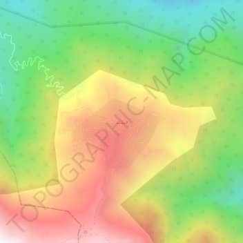
Nombre: Mapa topográfico Filband, altitud, relieve.
Altitud media: 1 923 m
Altitud mínima: 1 333 m
Altitud máxima: 2 597 m