
Mapa topográfico Darreh Shahr
Mapa interactivo
Haga clic en el mapa para ver la altitud.
Acerca de este mapa
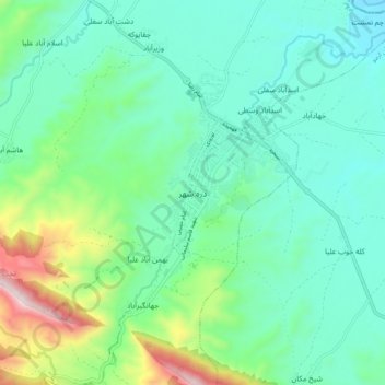
Nombre: Mapa topográfico Darreh Shahr, altitud, relieve.
Altitud media: 734 m
Altitud mínima: 554 m
Altitud máxima: 1 324 m
The elevation of the town varies from 635 m (2,083 ft) in the northeast to 695 m (2,280 ft) in the southwest areas which are closer to the mountains.