
Mapa topográfico Sahand
Mapa interactivo
Haga clic en el mapa para ver la altitud.
Acerca de este mapa
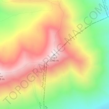
Nombre: Mapa topográfico Sahand, altitud, relieve.
Altitud media: 3 118 m
Altitud mínima: 2 651 m
Altitud máxima: 3 542 m
Sahand is one of the highest mountains in Iranian Azerbaijan, in addition to being an important dormant volcano in the country. The Sahand mountains are directly south of Tabriz, the highest peak of which is Kamal at an elevation of 3,707 m (12,162 ft). Approximately 17 peaks can be accounted for as being over 3,000 m (9,843 ft) in height. Due to the presence of a variety of flora and fauna, the Sahand mountains are known as the bride of mountains in Iran.