
Mapa topográfico Iranian plateau
Mapa interactivo
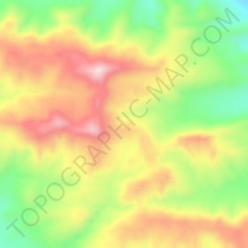
Haga clic en el mapa para ver la altitud.
Acerca de este mapa
Nombre: Mapa topográfico Iranian plateau, altitud, relieve.
Altitud media: 1 061 m
Altitud mínima: 883 m
Altitud máxima: 1 227 m
The Northwestern Iranian plateau, where the Pontic and Taurus Mountains converge, is rugged country with higher elevations, a more severe climate, and greater precipitation than are found on the Anatolian Plateau. The region is known as the Anti-Taurus, and the average elevation of its peaks exceeds 3,000 m. Mount Ararat, at 5,137 meters (16,854 ft) the highest point in Turkey, is located in the Anti-Taurus. Lake Van is situated in the mountains at an elevation of 1,546 meters (5,072 ft).