
Mapa topográfico Champlin
Mapa interactivo
Haga clic en el mapa para ver la altitud.
Acerca de este mapa
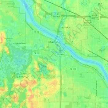
Nombre: Mapa topográfico Champlin, altitud, relieve.
Lugar: Champlin, Hennepin County, Minnesota, 55316, United States (45.15133 -93.42256 45.21166 -93.32840)
Altitud media: 265 m
Altitud mínima: 251 m
Altitud máxima: 283 m
The average elevation is 875 feet (267 m) above sea level, and the Mississippi River is approximately one-eighth of a mile wide throughout Champlin.