
Mapa topográfico Nieuw Beerta
Mapa interactivo
Haga clic en el mapa para ver la altitud.
Acerca de este mapa
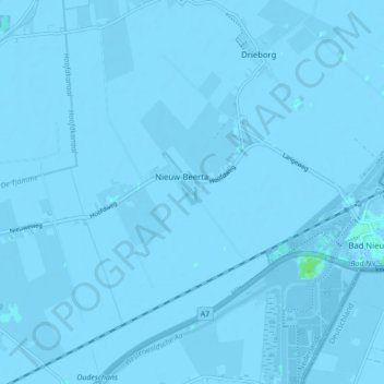
Nombre: Mapa topográfico Nieuw Beerta, altitud, relieve.
Lugar: Nieuw Beerta, Oldambt, Groningen, Nederland (53.16106 7.13153 53.21318 7.20372)
Altitud media: -2 m
Altitud mínima: -6 m
Altitud máxima: 6 m
Otros mapas topográficos
Haga clic en un mapa para ver su topografía, su altitud y su relieve.
Nieuw Scheemda
Nederland > Groningen > Oldambt
Nieuw Scheemda, Oldambt, Groningen, Nederland
Altitud media: -1 m
Winschoterdiep
Nederland > Groningen > Oldambt
Winschoterdiep, Oldambt, Groningen, Nederland, 9636AL, Nederland
Altitud media: 0 m